Destination

Naoero

Meneng District, Republic of Nauru

The destination

Naoero, the island republic

Naoero — Nauru, in English — is a single raised coral island in the central Pacific, about 53 kilometres south of the equator. With an area of 21 square kilometres it is the third-smallest country in the world. A narrow coastal belt of palms and homes rings a central plateau called Topside, mined for phosphate for most of the last century, and a road runs all the way round. The Manor Hotel stands in Meneng district on the east coast, looking over Anibare Bay, a few minutes from the airport in Yaren.
  • Anibare BayOn the doorstep

    About 1.5 km by road

    Anibare Bay

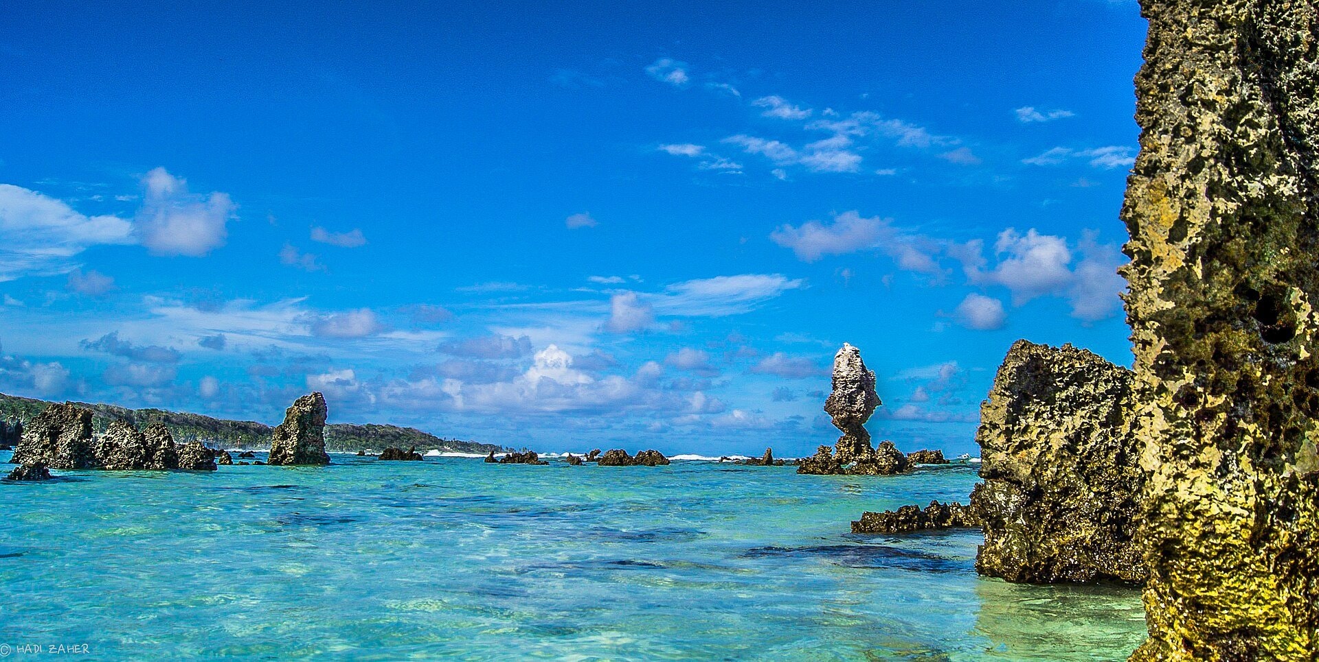
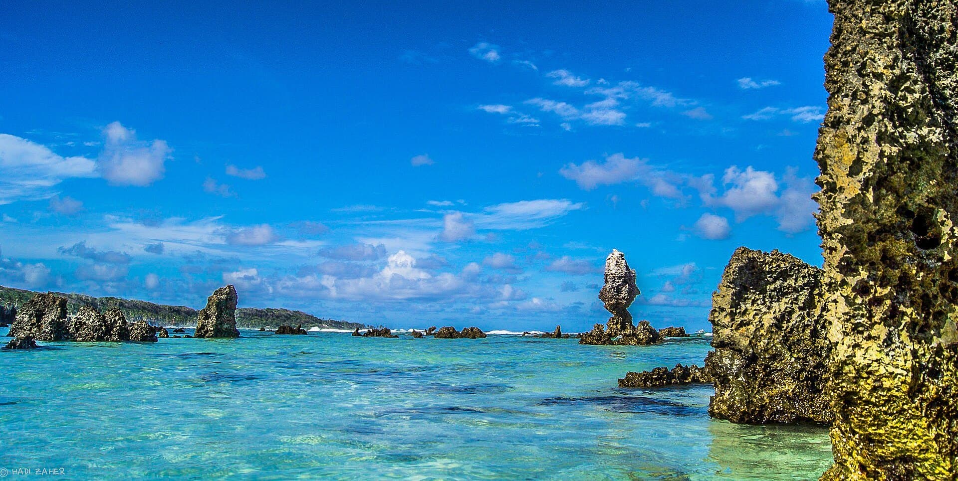
    The large bay in Anibare district on the east coast — the view from the hotel. White sand, coral pinnacles standing in the shallows and clear water over the reef. Currents beyond the reef can be strong, so swim only in sheltered spots and ask at the front desk about conditions.
  • The reef at low tideNature

    All around the island

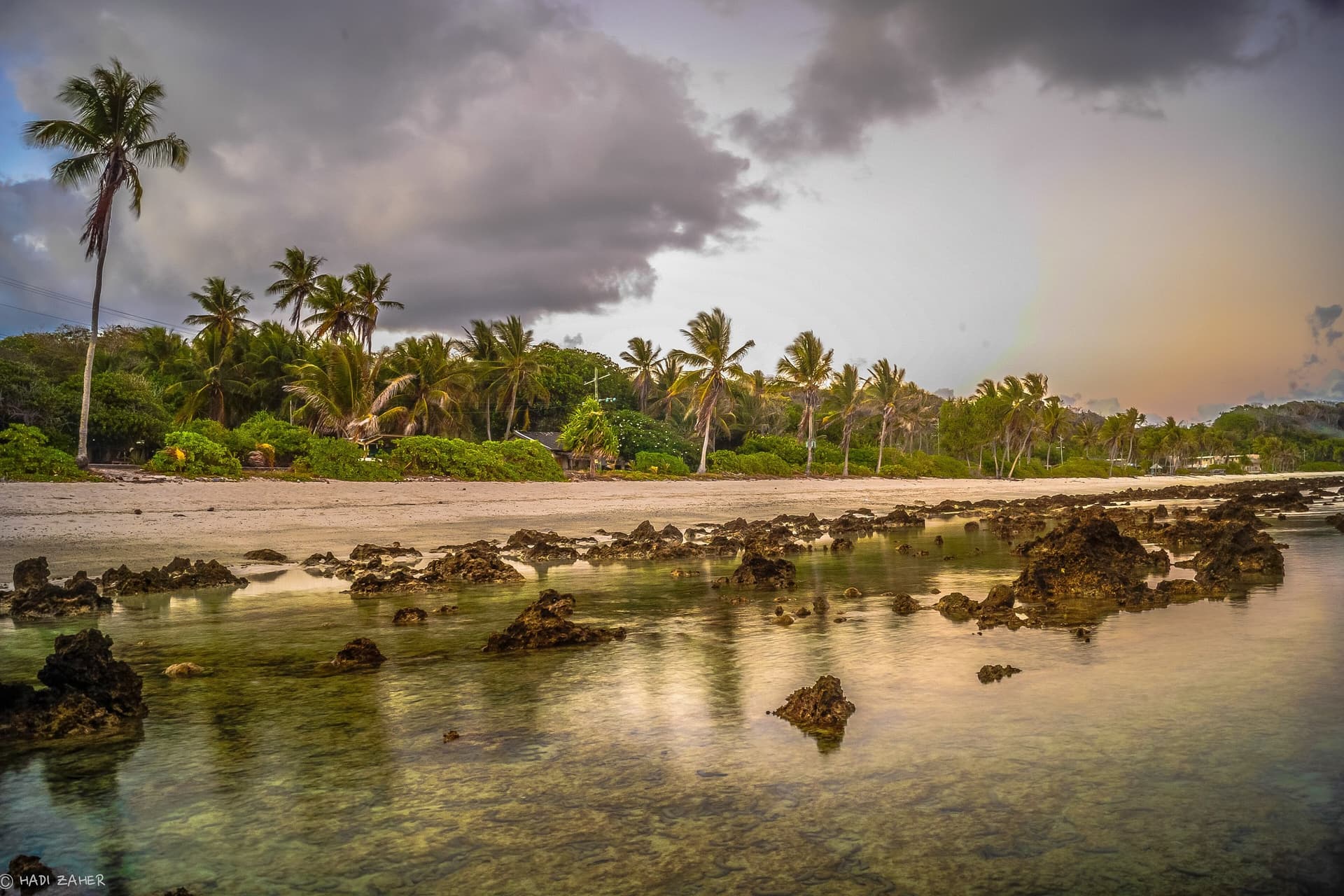
    The reef at low tide

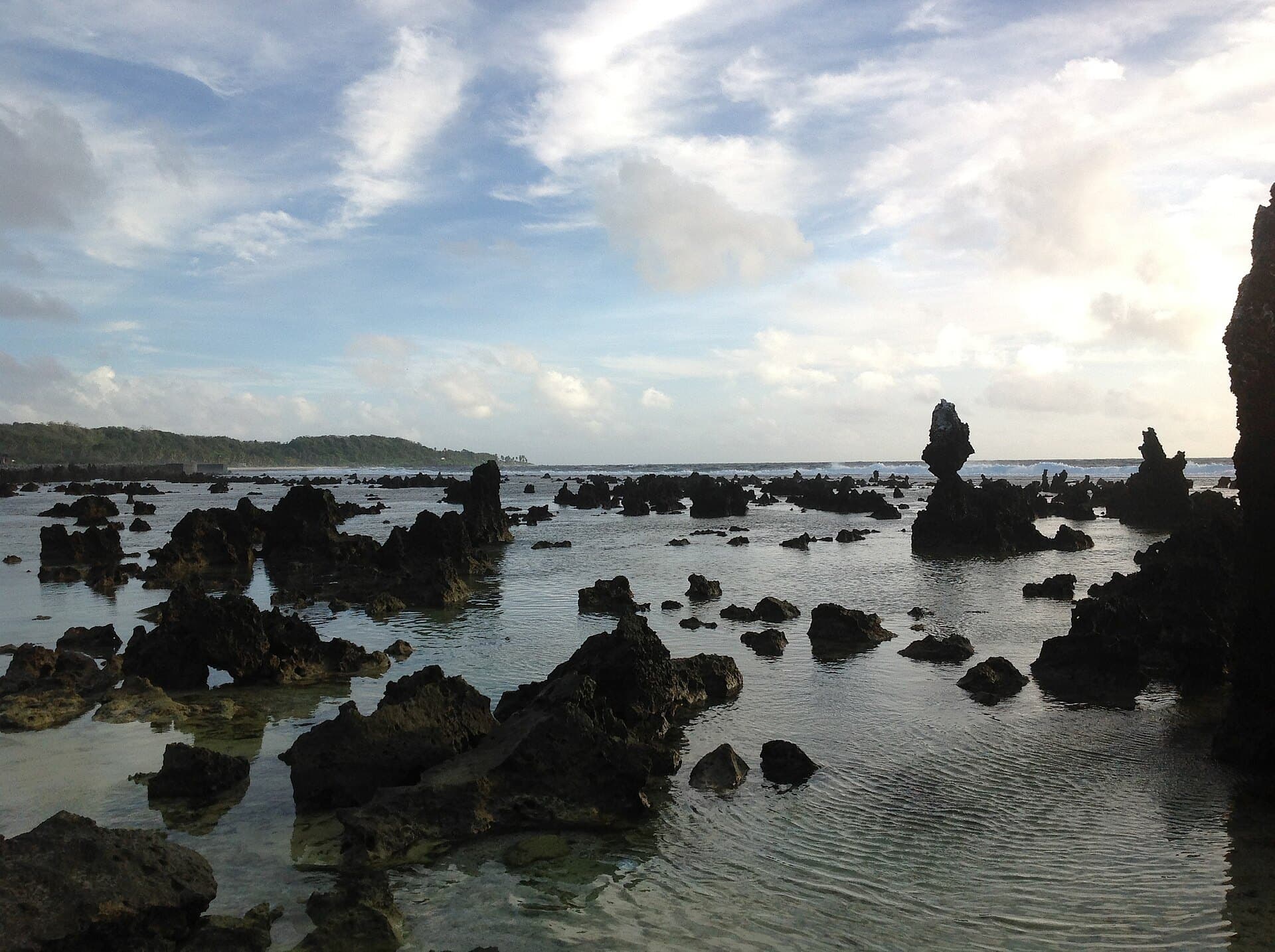
    A fringing reef surrounds Nauru. When the tide goes out the reef flat is exposed: rock pools, coral heads and pinnacles, and long evening reflections. Walk out with care, in reef shoes, and come back before the tide turns.

  • Buada LagoonNature

    About 5 km by road

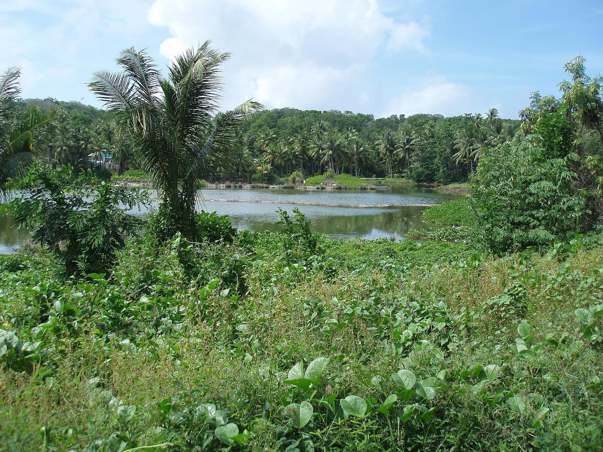
    Buada Lagoon

    A landlocked, slightly brackish freshwater lake in Buada district, ringed by coconut palms and gardens — one of the greenest and most peaceful corners of the island.

  • TopsideLandscape

    About 4 km by road

    Topside

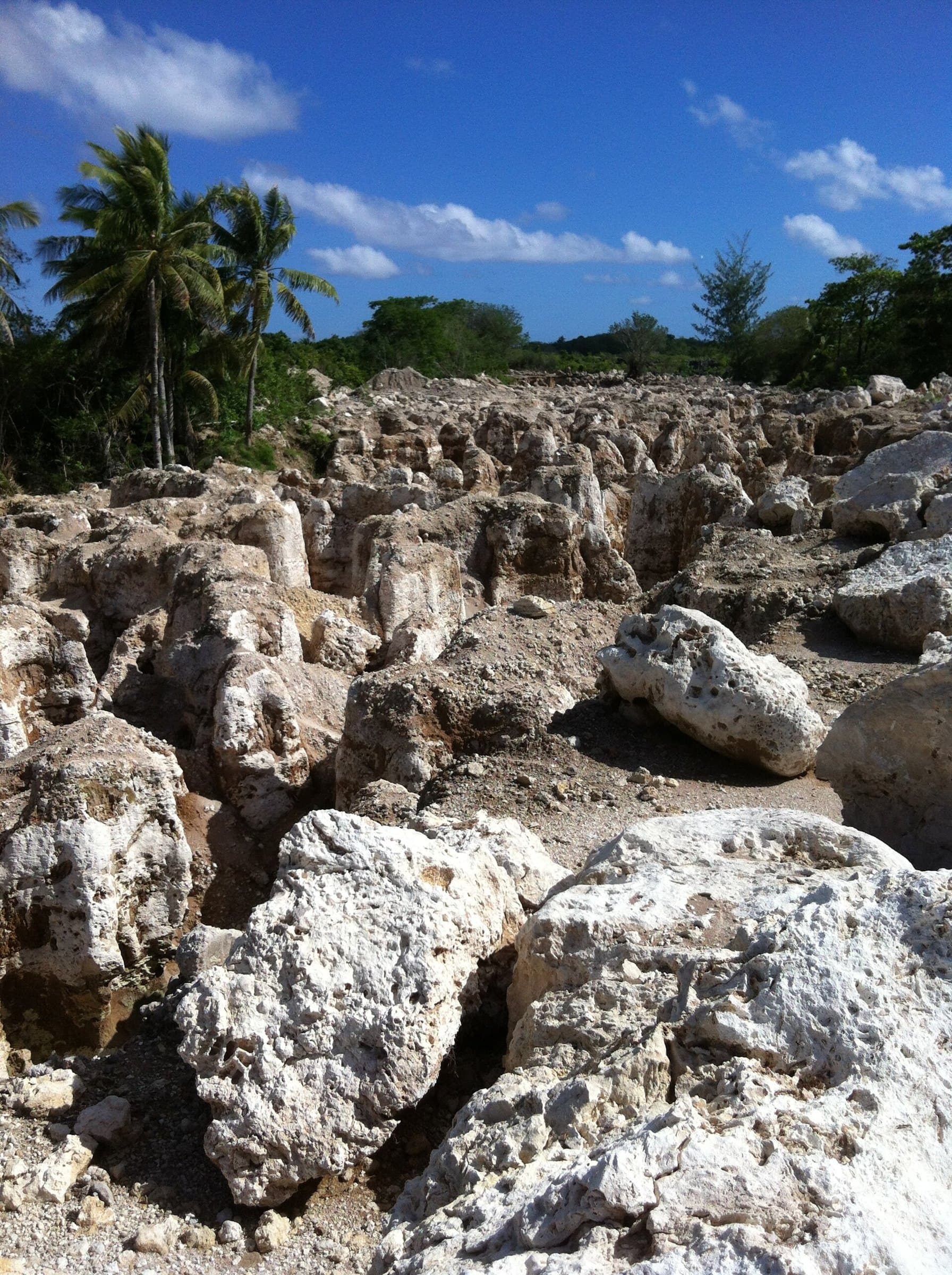
    The central plateau, where phosphate was mined for most of the twentieth century. Where the rock was dug away, tall pillars of coral limestone were left behind — an extraordinary landscape, and a reminder of how the island’s wealth was made.

  • Command Ridge & the war yearsHistory

    About 6 km by road

    Command Ridge & the war years

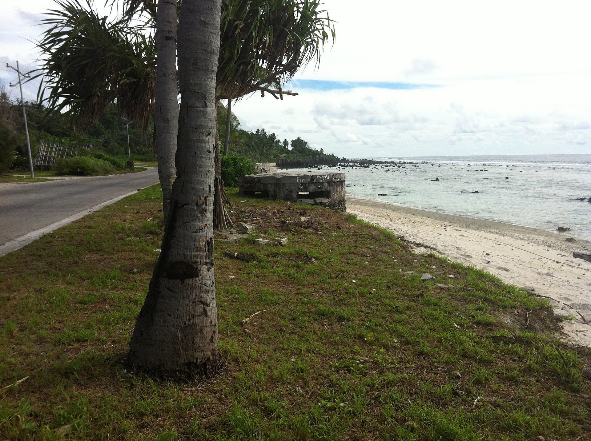
    Command Ridge, roughly 70 metres above the sea, is the highest point on the island. Japanese troops occupied Nauru from August 1942 until the end of the Second World War, and bunkers and gun positions from those years remain on the ridge and along the coast.

  • Round the islandBy road

    The whole loop by the coast road

    Round the island

    You can drive around the whole country in well under an hour. Along the way: Yaren, with Parliament and the government offices; Moqua Well, a small underground lake; Anibare Harbour; and the phosphate cantilevers at Aiwo on the west coast.

How far is it?

From the hotel

Approximate distances by road from the hotel. The whole island is 21 square kilometres, and the road around it is about 19 km.

0.5455° S, 166.9500° E

Anibare Baybeach
1.5 km
Anibare Harbourtransit
2 km
Yaren — Parliament & government officeslandmark
3 km
Nauru International Airportairport
3.5 km
Moqua Well & Moqua Cavesnature
3.5 km
Topside phosphate pinnaclesnature
4 km
Buada Lagoonnature
5 km
Command Ridgelandmark
6 km
Aiwo & the phosphate cantileverslandmark
11 km
Round the island by the coast roadnature
19 km

Climate

When to come

  • March – October

    Most of the year

    Hot and very humid all year, with daytime temperatures of about 30–35°C and nights around 25°C. Rain is generally lighter outside the monsoon months, though it varies a great deal from year to year.

  • November – February

    Monsoon months

    Monsoon rains arrive between November and February, often in heavy showers that pass quickly.

  • All year

    Water is precious

    Rainfall swings widely with El Niño and La Niña, and the island has known long droughts. Much of Nauru’s water is imported or collected from the rain — please use it with care.

Coral pinnacles on Topside

Customs

The Naoero way

Twelve tribes
Nauruans traditionally belonged to twelve tribes, and the twelve points of the star on the national flag stand for them.
Angam Day — 26 October
A national holiday celebrating the recovery of the Nauruan population after the two world wars and the 1920 influenza epidemic.
Independence Day — 31 January
Nauru became independent in 1968, with Hammer DeRoburt as its first president.
Language
Nauruan is the national language; English is widely spoken and used in government and business.
Island pace
One island, one road around it, and life at its own pace. Slow down — you will be converted by day three.

Practicalities

Good to know

Getting here
Nauru International Airport (INU) in Yaren is a few minutes from the hotel by road. Nauru Airlines, the national carrier, flies to Australia and other Pacific islands.
Visas
Most visitors need a visa arranged before they travel. Check the current requirements with the Government of Nauru before booking flights.
Currency
Australian dollar (AUD), written A$. All our rates are quoted in Australian dollars.
Language
Nauruan and English.
Time zone
UTC+12.
Electricity
240 V, with the same three-pin plugs as Australia.
Driving
On the left.
Dress
Light, casual clothes. Cover shoulders and knees when visiting churches.

Take a soothing deep breath.

Check availability
Destination guide · Manor Hotel